Our team of Nevada and California licensed surveyors ensures accurate and reliable field data and base mapping that meets all budgetary and scheduling requirements. Since 1999 RCI has successfully completed surveys throughout Nevada and California. These surveys include construction and right-of-way staking, Tahoe Regional Planning Agency (TRPA) coverage mapping, boundary, topographic, and American Land Title Association (ALTA) surveys.
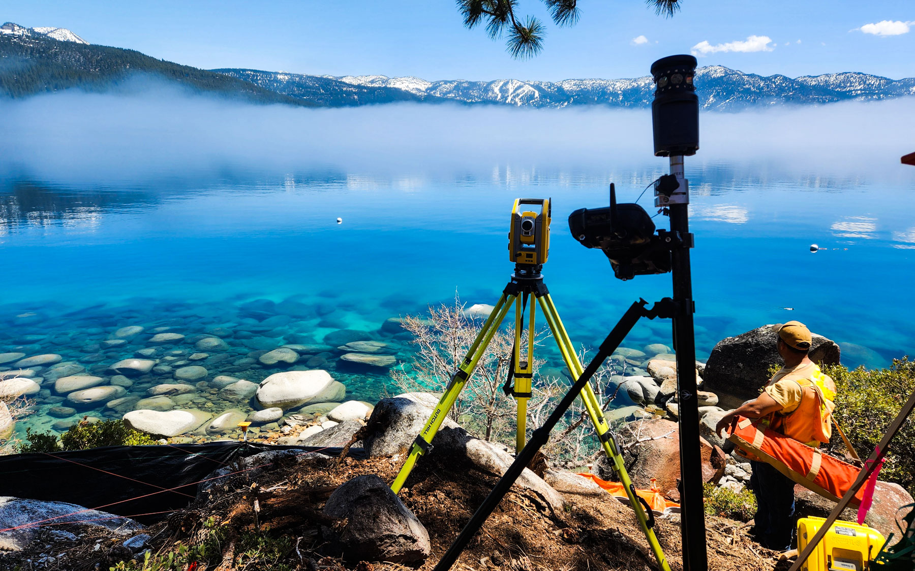
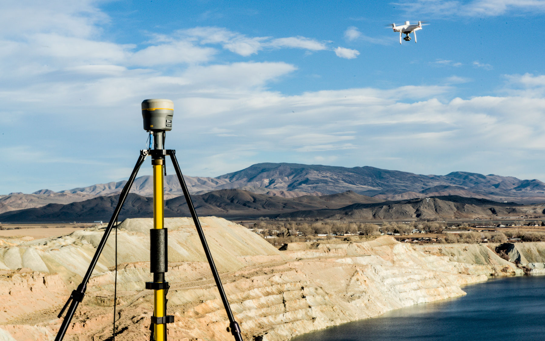
RCI offers a wide array of services that utilize the latest available technology including Robotic Total Station, Global Positioning System (GPS) field equipment, and DJI Phantom 4 drone. This, combined with ongoing training, provides efficiency and accuracy in all surveying procedures. Our survey services include: topographic and aerial control surveys, boundary location/ALTA surveys, lot surveys/parcel, maps/water rights, right-of-way surveys, subdivision mapping, mining claim surveys, and TRPA land coverage mapping.
Our survey team has provided services to individual private property owners and governmental entities to establish property boundaries, right-of-way abandonments, flood certificates, grading and drainage certificates required by various agencies, topographic surveys for use in project design, construction staking, and as-built surveys.
In addition, RCI has a specially outfitted kayak for highly accurate bathymetric measurements of the near shore of the Lake Tahoe lakebed. As part of our professional land surveying services, we are frequently asked by our clients to perform bathymetric surveys in conjunction with pier and buoy permits within state lands on both sides of the Nevada and California border. A bathymetric survey is the measurement of the bed of a body of water, or an underwater topographic map and RCI is pleased to provide this specialized service for our clients.
 Make a Payment
 Visit RCI on Facebook