![]()
![]()
Appendix J - Photo Points and Fuel Hazard Map For Unionville High and Extreme Fuel Hazard Areas
Representative Fuel Types
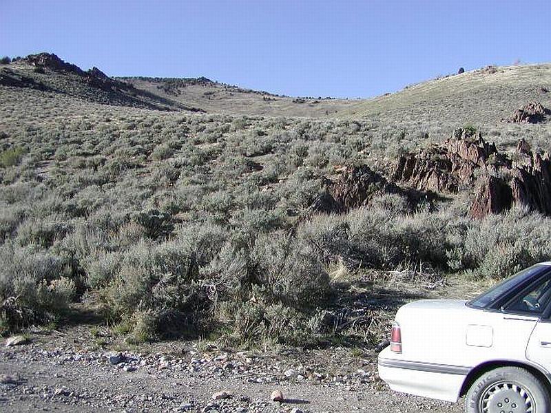
Photo Point 1. 4478140 N. 0402373 E. Direction 320° (NW) Wildland fuels on moderate slopes northwest of Unionville, sagebrush with grass understory.
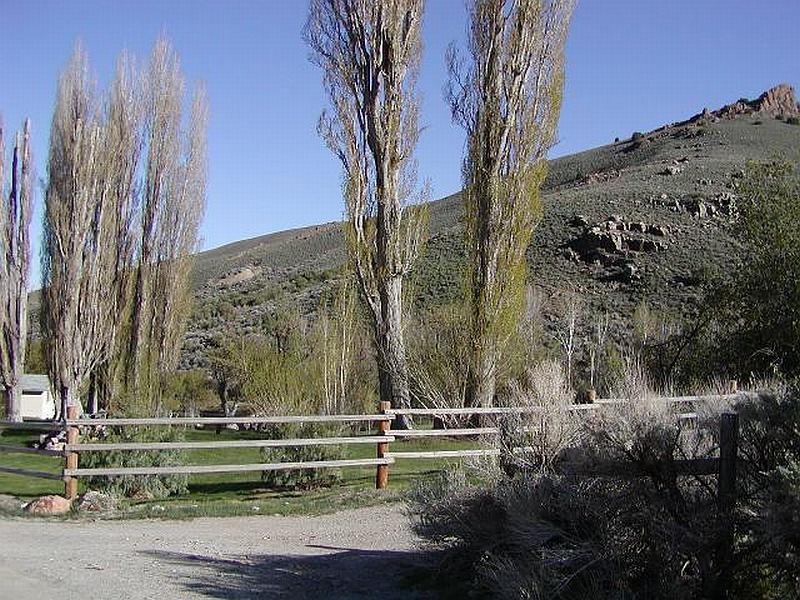
Photo Point 2. 4478139 N. 0402456 E. Direction 110° (ESE) Looking through riparian corridor at brush covered slope south of Unionville.
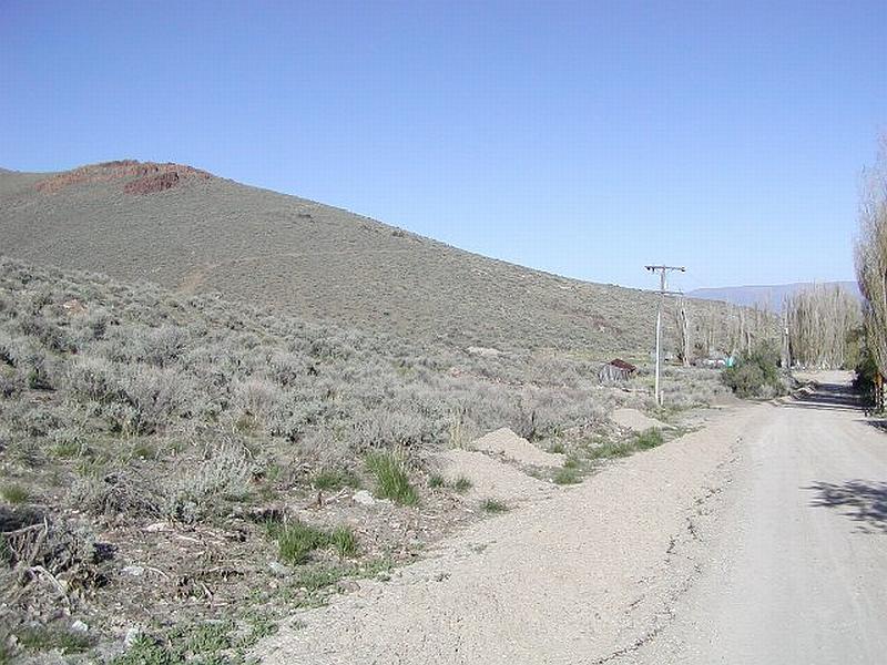
Photo Point 3. 4478133 N. 0402625 E. Direction 90° (E) Sagebrush fuel type north of main road through Unionville. Road provides a break between fuels and community.
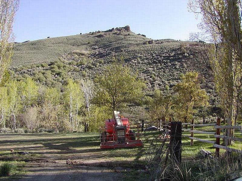
Photo Point 4. 4478082 N. 0402923 E. Direction 180° (S) Pasture and riparian vegetation around structures in Unionville.
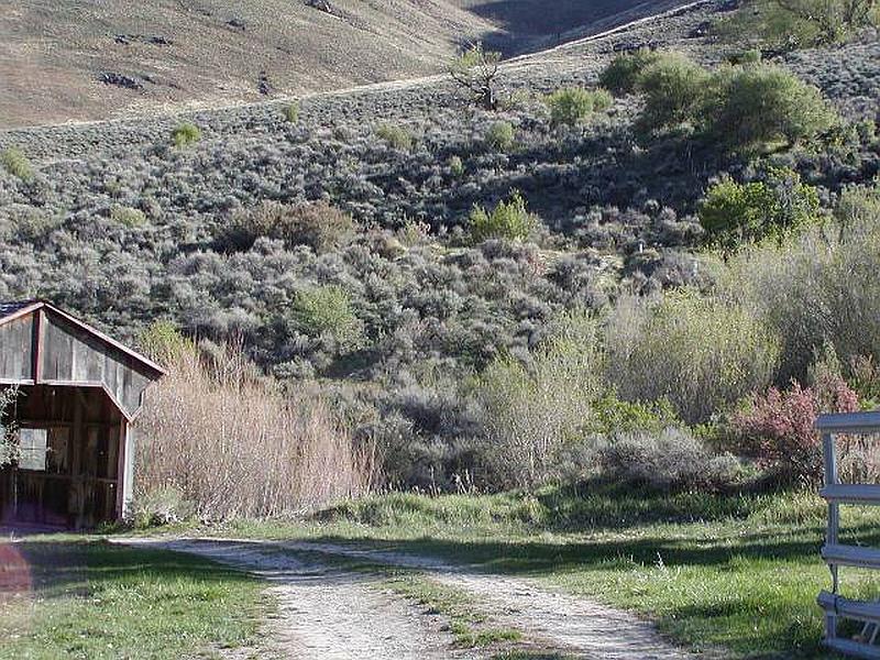
Photo Point 5. 4478033 N. 0403126 E. Direction 180° (S) Brush fuels meeting riparian zone on south side of Unionville.
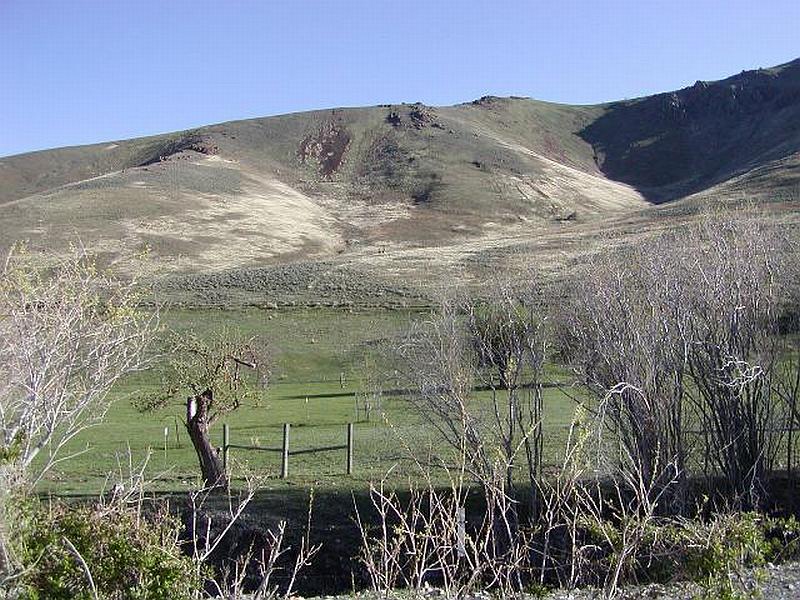
Photo Point 6. 4477992 N. 0403388 E. Direction 160° (SSE) Irrigated pasture in Unionville. Notice the hillside beyond the pasture burned in 2000.
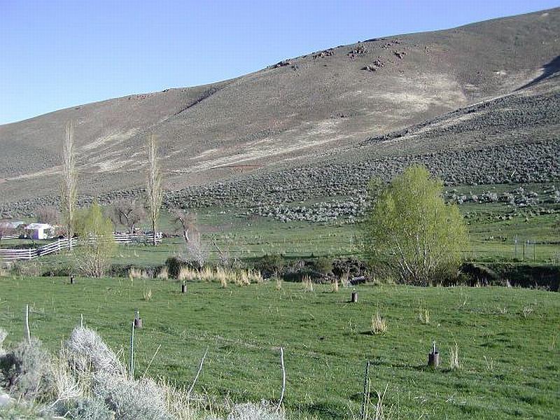
Photo Point 7. 4477951 N. 0403665 E. Direction 160° (ESE) Pasture surrounding structures in Unionville, brush and grass fuel types on southern slopes.
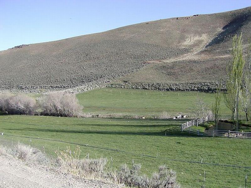
Photo Point 8. 44777932 N. 0403934 E. Direction 100° (ESE) Irrigated pasture corridor in Unionville.
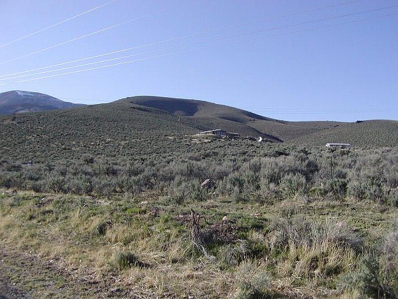
Photo Point 9. 4477883 N. 0404387 E. Direction 300° (WNW) Structures in the brush fuel type. Looking north from main road.

Photo Point 10. 4477966 N. 0405149 E. Direction 0° (N) Sagebrush fuels on less steep slopes in east Unionville.
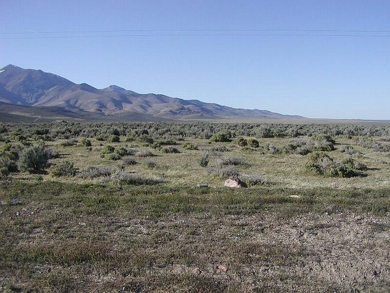
Photo Point 11. 4477915 N. 0406558 E. Direction 0° (N) Low brush (widely spaced) and grass fuel type on alluvial fan east of Unionville.