![]()
![]()
Appendix C - Photographs of Representative Fuel Types in Pershing County Communities
Representative Fuel Types
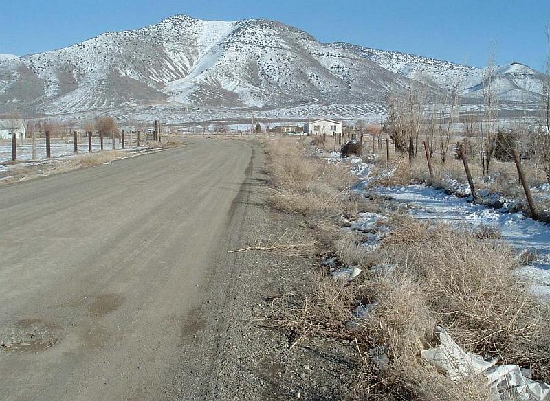
Photo 1. Shrubs and annual weeds grow along the roads in the Grass Valley community. Mowing or clearing vegetation a distance of at least 20 feet on both sides of the roads will reduce the risk of a wildfire spreading throughout the community.
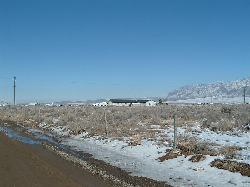
Photo 2. Fuel loads around unburned areas of Grass Valley range from one to three tons per acre. In the burned areas, fuel loads are generally less than one ton per acre.
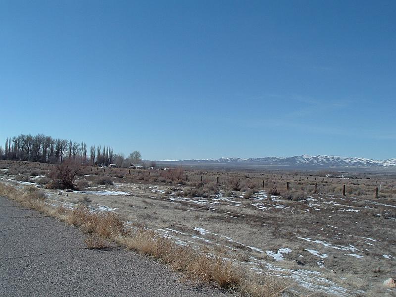
Photo 3. The dominant fuel type in areas that have not recently burned around Humboldt is shadscale and greasewood with a loading of approximately four tons per acre. In burned areas, the fuel load has greatly decreased to range between one-half and one ton per acre.
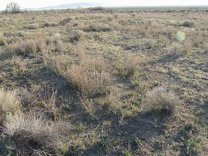
Photo 4. There is an area approximately eight acres in size where Russian Knapweed, a state-listed noxious weed, is growing in front of the historic Humboldt House.
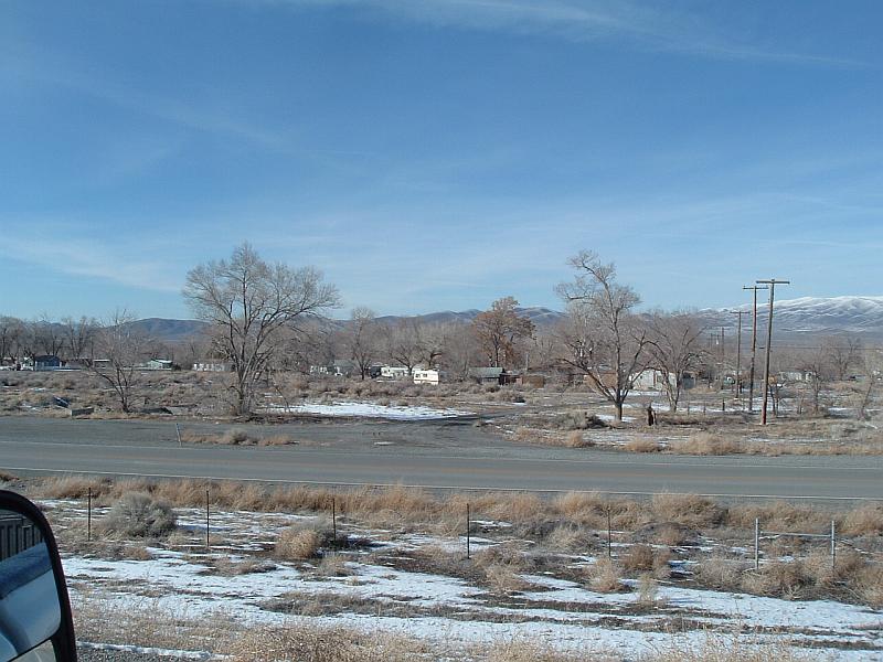
Photo 5. Fuels in and around Imlay consist of salt desert shrub, cheatgrass, and perennial grasses with an estimated loading of less than one-half ton per acre.
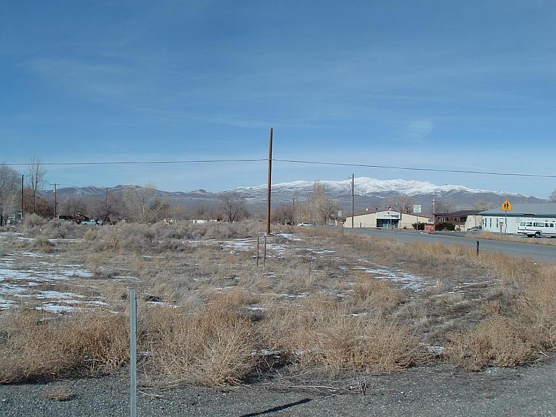
Photo 6. Shrubs and annual weeds like Russian thistle grow along road right-of-ways in Imlay. Mowing or clearing the vegetation along roadways 15 feet on each side of the road will reduce the risk of wildfire spreading through the community.
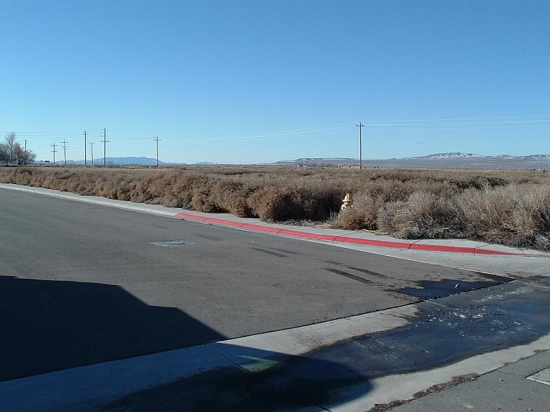
Photo 7. Russian knapweed, a state-listed noxious weed, grows along roadways and in disturbed areas in and around Lovelock.
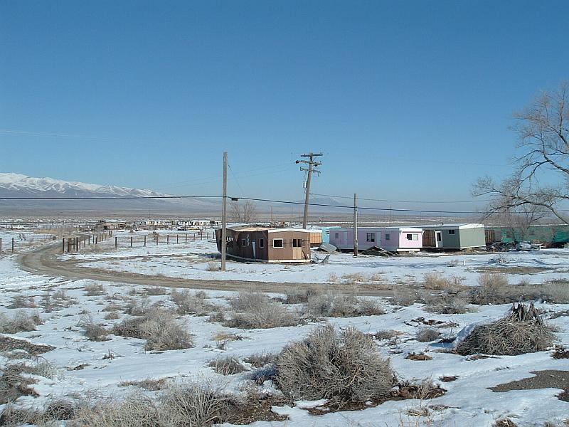
Photo 8. Vegetative fuels around Mill City are sparse due to past fires occurring in this area. Fuel loads are estimated to be less than one-half ton per acre. Implementation of defensible space and the boarding up or removal of abandoned trailers will provide the best protection for the community against a wildland fire.
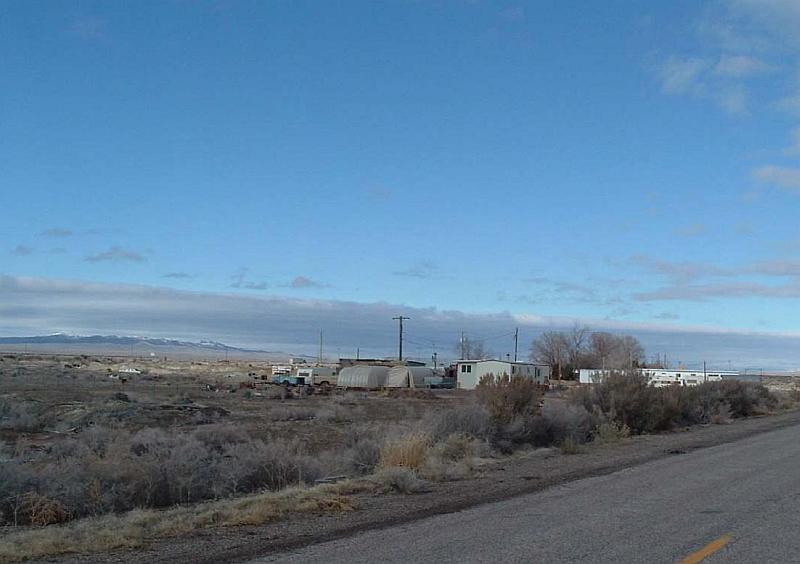
Photo 9. In areas of Oreana, dense stands of brush have established along road right-of-ways. Mowing shrubs and other vegetation for a distance of 10 feet on each site of the road will reduce the spread of a wildfire within the community.
Photo 10. The predominant fuel types around Oreana are salt desert shrub and cheatgrass. Fuel loads around the community are generally less than one-half ton per acre.
Photo 11. The fuels around Rye Patch are generally salt desert shrub species, which create a fuel load of approximately one to two tons per acre.
Photo 12. Russian knapweed, a state listed noxious weed, grows along the wildland/urban interface around Rye Patch.
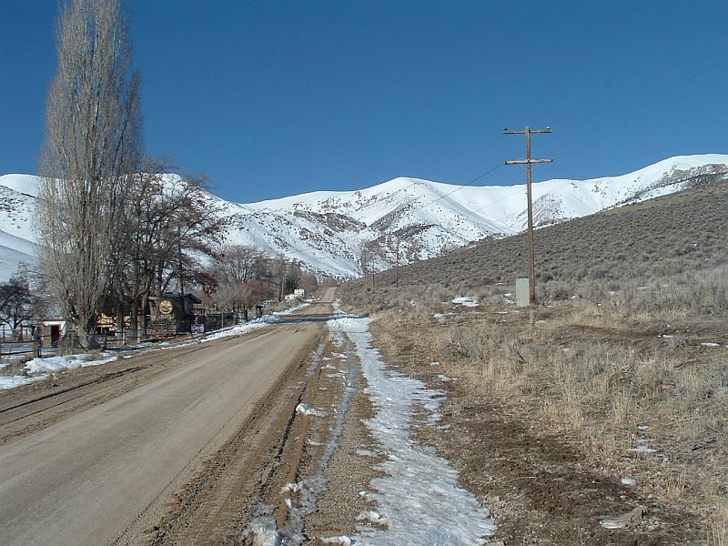
Photo 13. Sagebrush is the dominant vegetation type on the north side of Unionville Road. Creation of a firebreak along the road and under the power lines will reduce the risk to the community from a wildfire coming from the north.
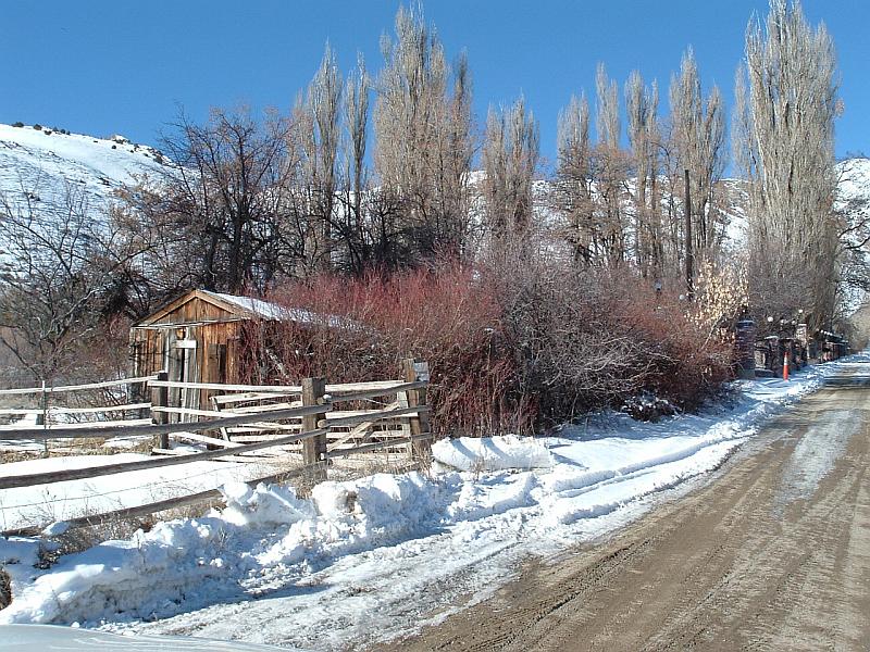
Photo 14. Dense woody vegetation grows adjacent to wood structures and along Unionville road. This could create a fire hazard if a flying ember ignited the vegetation, especially on a high hazard day.
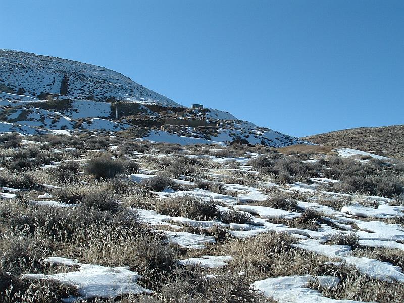
Photo 15. The primary feature in Nightingale is the historic mine site in this photograph.
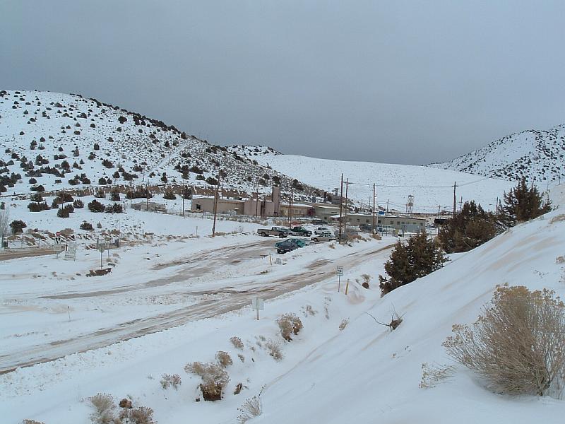
Photo 16. The mine site in Rochester does not host any residences, and therefore was not included in the risk assessment.