![]()
![]()
Appendix B - Photographs of Representative Fuel Types in Mineral County Communities
Representative Fuel Types
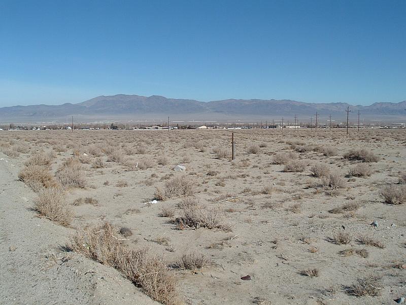
Photo 1. Typical sparse, low vegetation surrounding Hawthorne.
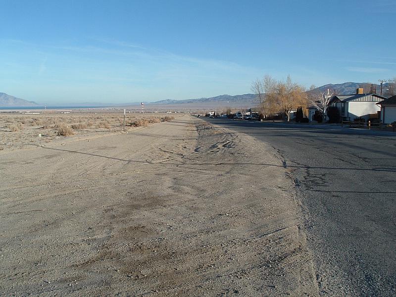
Photo 2. Hawthorne Wildland/Urban interface showing sparse vegetation and cleared road shoulders.
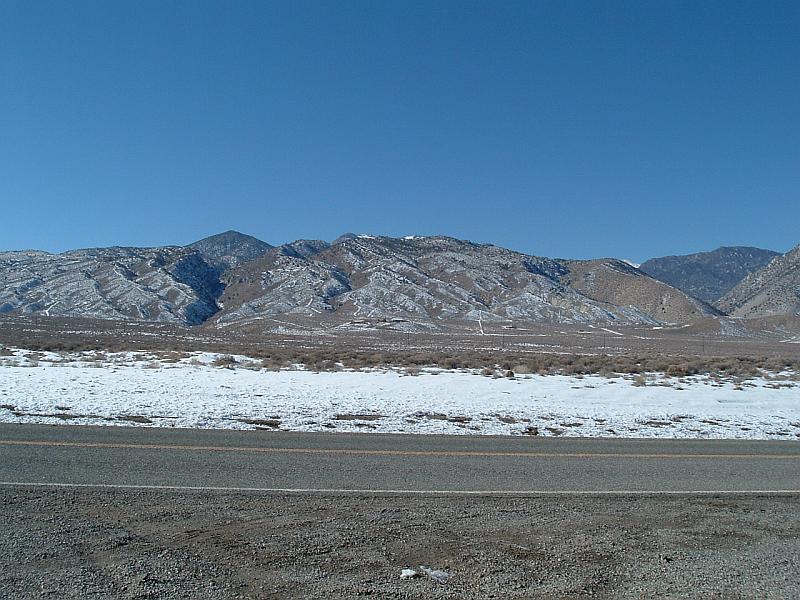
Photo 3. Looking west approximately 3 miles south of Hawthorne towards observed area of future development.

Photo 4. Sparse vegetation along US Highway 95 north of Luning.
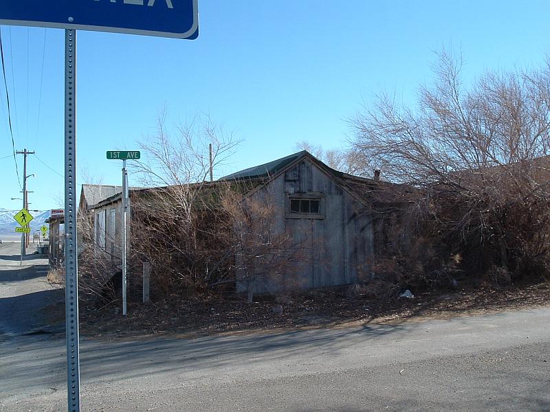
Photo 5. Wooden building in Luning with encroaching vegetation.

Photo 6. Wildland/Urban interface area of Mina showing sparse vegetation.
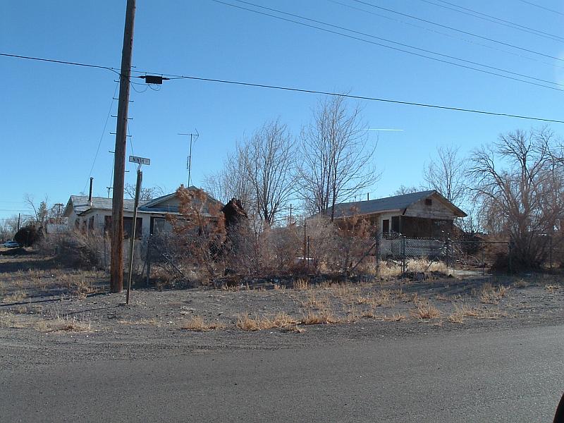
Photo 7. Vacant wood structure in Mina surrounded by vegetation and debris.
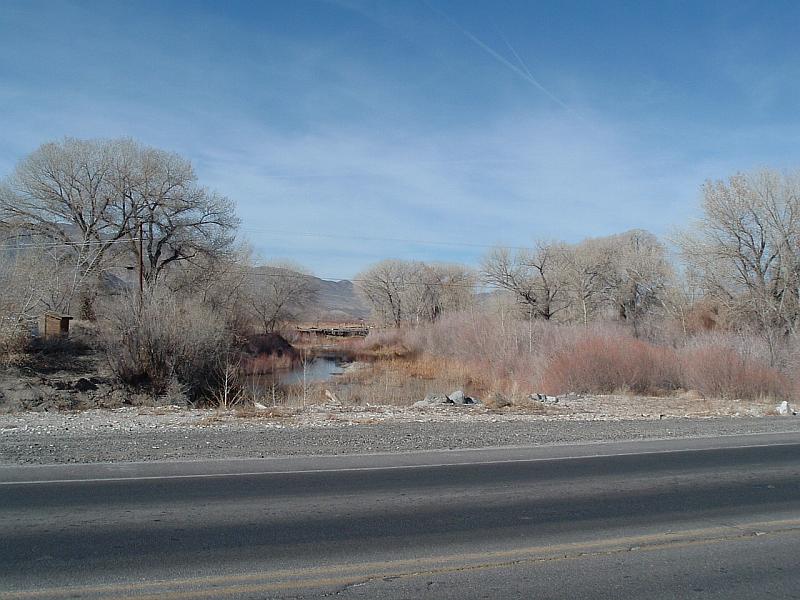
Photo 8. Walker River Corridor in Schurz showing heavy vegetation along the riverbanks.
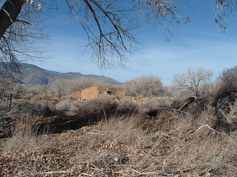
Photo 9. Hay stacks in Schurz surrounded by vegetation.
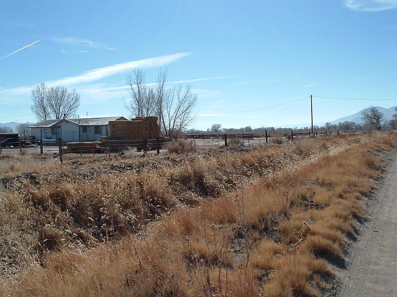
Photo 10. Irrigation ditch in Schurz with vegetation in channel and along banks.
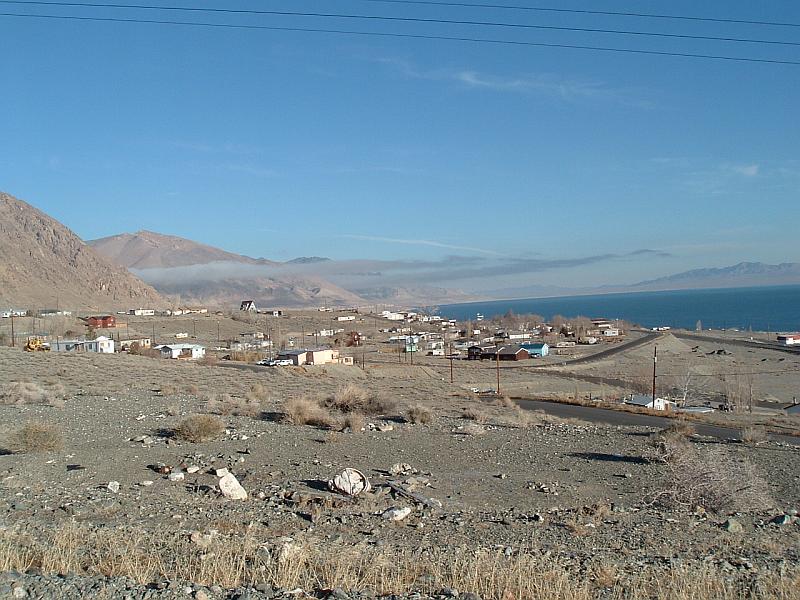
Photo 11. Overview of Walker Lake showing structure spacing and sparse vegetation.
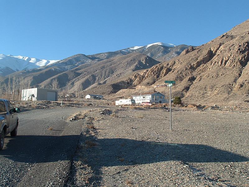
Photo 12. North end of Walker Lake showing vegetation and cleared road shoulders.