![]()
![]()
Appendix C - Photographs of Representative Fuel Types in Storey County Communities
Representative Fuel Types

Photo 1. Gold Hill. Roadside fuels can consist of native grasses and cheatgrass that create a fuel bed highly receptive to ignition sources from the adjacent highway. Many trees are in contact with overhead power lines. Fuel loading is estimated at less than three tons per acre.
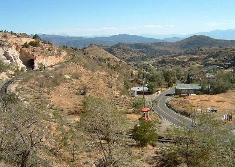
Photo 2. Gold Hill. Overview of community from the north, where residential and commercial structures are concentrated between State Route 342 and the west-facing canyon walls. The most common wildland fuels are sagebrush and rabbitbrush, with lightly stocked pinyon-juniper stands at some distance from the community.

Photo 3. Lockwood. Interface vegetation on west aspect, view looking north. Fuels consist primarily of sagebrush, two feet tall. Fuel loading is estimated at less than one ton per acre and has a low fuel hazard classification.

Photo 4. Six Mile. Typical fuels on the north side of Six Mile are low-growing sagebrush. Light pinyon-juniper fuels in the distance present little threat to buildings and other property in the community. Fuel loading is estimated at less than one ton per acre.

Photo 5. Six Mile. Medium density fuels, in the form of sagebrush and rabbitbrush, are present in open parcels to the south of the community. Due to their larger size and their position relative to the community and the prevailing winds out of the south and southwest, this area presents a moderate threat to the community.
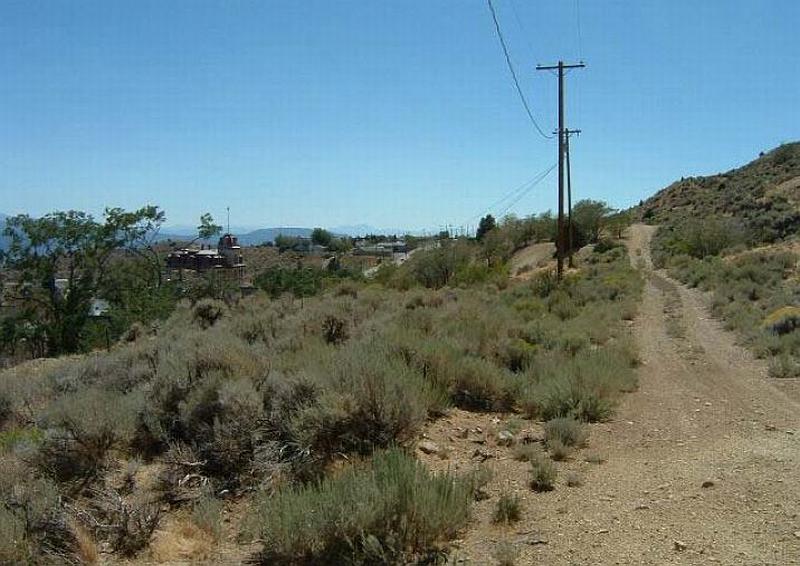
Photo 6. Virginia City. Fuel loads along the west side interface include sagebrush and rabbitbrush at the foot of steep slopes. Implementing a fuelbreak alongside the existing jeep trail is a key recommendation for protecting the homes along the western flank of the community, where the fuel hazard is rated high.

Photo 7. Virginia City. Fuel loading on the east side of the community is moderate; continuity is fragmented by historic mining activity and other disturbance. Some cheatgrass is present but the threat to homes and other structures is mild.

Photo 8. Virginia Highlands. Medium hazard fuel loads are typically found in sagebrush flats surrounded by pinyon-juniper stands of with high and extreme fuel loads.
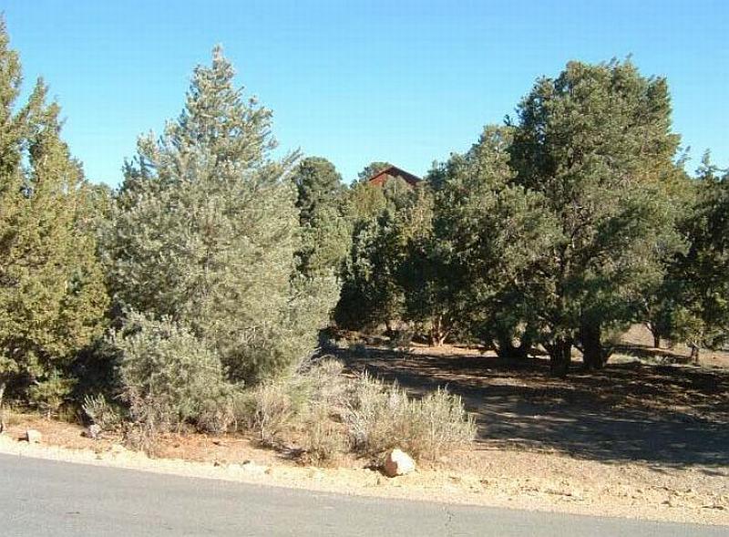
Photo 9. Virginia Highlands. Understory brush removal and limbing of pinyon and juniper trees in parcel on the right significantly reduces the fire hazard presented by these woodland fuels. Typical understory vegetation includes sagebrush, bitterbrush, and rabbitbrush. Overall fuel loading is in excess of eight tons per acre in the uncleared parcel on the left, an extreme fuel hazard.